35mm Color Slide Photographic Item
Title
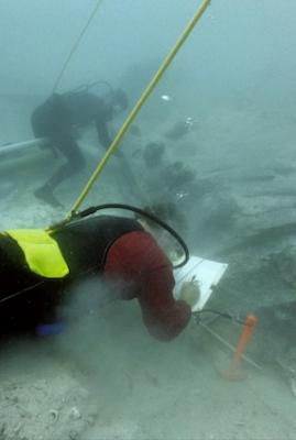
Dredging and Mapping the Henrietta Marie Hull StructureAccession Number
2018.002.0920Creation Date
May 2001Description
Mel Fisher Maritime Heritage Society archaeologist Corey Malcom (left) dredging while archaeologist David Moore maps in the Henrietta Marie hull structure underwater at the wreck-site.